Карта глубин Сурского водохранилища - Dap Drift
by Drifter
Version 1,000+ 💾 22 Mb
📅 Updated Eligible if bought after 7/2/2016.
Learn
Depth map of the Sursk reservoir of the Penza region
Features Карта глубин Сурского водохранилища - Dap Drift
Карта глубин (лоция) Сурского водохранилища, которое расположено в Пензенской области на реке Суре в 10 километрах восточнее города Пензы.
И карта глубин реки Волга в Саратовской области на участке Сабуровка-Вязовка.Приложение разработано специально для рыболовов с учетом их пожеланий и потребностей: старое русло, русловые бровки, затопленные овраги и озера, бывшие дороги и деревни.
Теперь нет необходимости тратить время на поиск рыбных мест.
Используйте все свободное время для ловли рыбы.
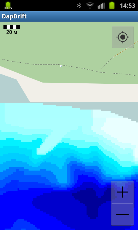
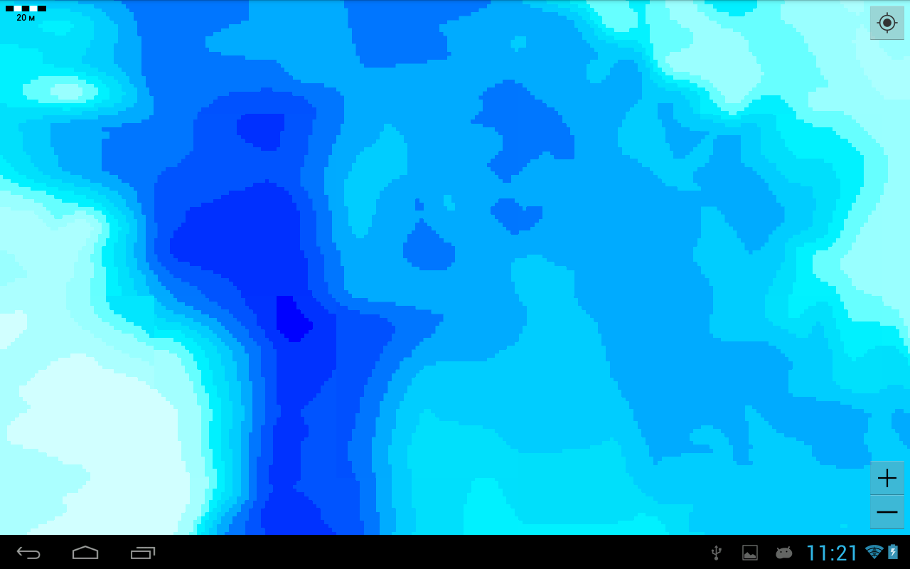
Карта покрывает площадь водохранилища от административного центра села Камайка и «Сахарного» оврага, до села Усть-Уза и бывшего поселка Смычка Шемышейского района.- 16 цветовых градаций глубины;- привязка GPS;- отображение местоположения;- указание направления движения;- минимальный масштаб 20 метров.Обратите внимание: зимний уровень водохранилища на 2.5 метра меньше летнего.Важно!
После скачивания приложения запустите его как минимум один раз при доступном интернете, чтобы приложение смогло сохранить состояние покупки.
Тогда при последующих интернет не потребуется.Depth map (direction) of the Sursk reservoir, which is located in the Penza region on the Sura river, 10 kilometers east of the city of Penza.
And a map of the depths of the Volga River in the Saratov region at the Saburovka-Vyazovka section.The application is designed specifically for anglers, taking into account their wishes and needs: old riverbed, channel edges, flooded ravines and lakes, former roads and villages.
Now there is no need to waste time looking for fishing spots.
Use all your free time to fish.The map covers the area of the reservoir from the administrative center of the village of Kamayka and the "Sakharny" ravine, to the village of Ust-Uza and the former village of Smychka, Shemysheisky district.- 16 color gradations of depth;- GPS binding;- location display;- indication of the direction of movement;- the minimum scale is 20 meters.Please note: the winter level of the reservoir is 2.5 meters lower than the summer level.Important!
After downloading the app, run it at least once with the internet available so that the app can save the purchase state.
Then, with subsequent Internet is not required.Карта работает и на Android 9.
Gaming Features
Enjoy immersive gaming experience with various game modes.
Fitness Tracking
Track your workouts and monitor your health metrics.
Travel Features
Plan and manage your travels with ease.
See the Карта глубин Сурского водохранилища - Dap Drift in Action

Get the App Today
Available for Android 8.0 and above